

FIRST
ASCENT
CLIMBING OLYMPUS MONS
21 KM HIGHT IN FOUR SOL
ON THE RED PLANET OF MARS 2019
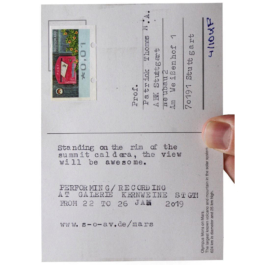
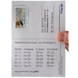
PERFORMING/RECORDING AT GALERIE KERNWEINE STUTTGART FROM 22 TO 26 JANUARY
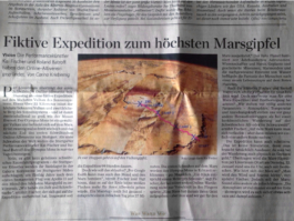
Das Ziel der Performance war die Erstbesteigung des Olympus Mons. Dieser ist der größte Vulkan und Berg des Sonnensystems und befindet sich auf dem Mars.
Mit einer Höhe von 21 Kilometern ist er fast zweieinhalb mal höher als der Mount Everest. Der Durchmesser des Schildvulkans beträgt 600 Kilometer, was ungefähr der Distanz Berlin-München entspricht.
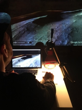
Wir erklommen den Berg in Echtzeit via Google Earth.
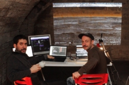
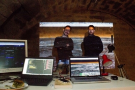
Die Besteigung dauerte vier Sol. Sol ist ein Marstag. Dessen Länge beträgt 24,39 Stunden. Vier Sol sind 99 Stunden. Die Aktion fand abgeschottet in Stuttgart im Keller der Galerie Kernweine statt.
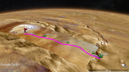
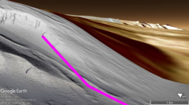
Die Wegstrecke wurde live vor Ort programmiert. Zwischen Start und Gipfel hinterließen wir eine magentafarbene Linie.
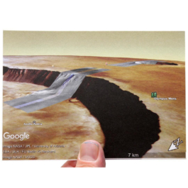
Die Länge der Route zum Gipfel betrug 200 km. Dort ist die Caldera; ein kesselartiger Gipfelkrater.
Via Mausklick wurden 2,20 m pro Sekunde zurückgelegt. Die durchschnittliche Laufgeschwindigkeit betrug 8 km/h. Wir liefen pro Sol cirka sieben Stunden und 50 km. An Sol 1 erreichten wir das Basiscamp, an Sol 4 den Gipfel.
Der Aufstieg erfolgte von Ostnordost. Dort befindet sich ein flach verlaufender Zugang hinauf zum Gipfel. Die restlichen Flanken sind begrenzt von bis zu 8 km hohen Steilhängen.
Die Aktion wurde via Twitch gestreamt.
Been there, done that!
mit:
Roland Batroff
Kai Fischer
Engl.
The goal of the performance was the first ascent of Olympus Mons, the largest volcano and mountain in the solar system, located on Mars.
With a height of 21 kilometers, it is almost two and a half times higher than Mount Everest. The diameter of the shield volcano is 600 kilometers, which is approximately the distance Berlin-Munich.
We climbed the mountain in real time via Google Earth.
The ascent took four sol. Sol is a Martian day with a length of 24.39 hours. Four sol are 99 hours. The action took place in Stuttgart in the cellar of the Kerneweine Gallery, Stuttgart.
Between the start and the summit, we left a magenta line that was programmed live on site.
The length of the route to the summit was 200 km. There is the caldera; a cauldron-like summit crater.
2.20 m per second were covered by mouse click. The average hiking speed was 8 km/h. We hiked about seven hours and 50 km per sol. On Sol 1 we reached the base camp, on Sol 4 the summit.
The ascent took place from east-northeast. There is a flat access up to the summit. The remaining flanks are bordered by steep slopes up to 8 km high.
The hike was streamed via Twitch.
Been there, done that!

